2019 Capstone Projects
After a successful Winter Quarter, 5 of the students continued their efforts within Liquid Lands for the completion of their Capstone studio.
problem statement
flood, fix, repeat


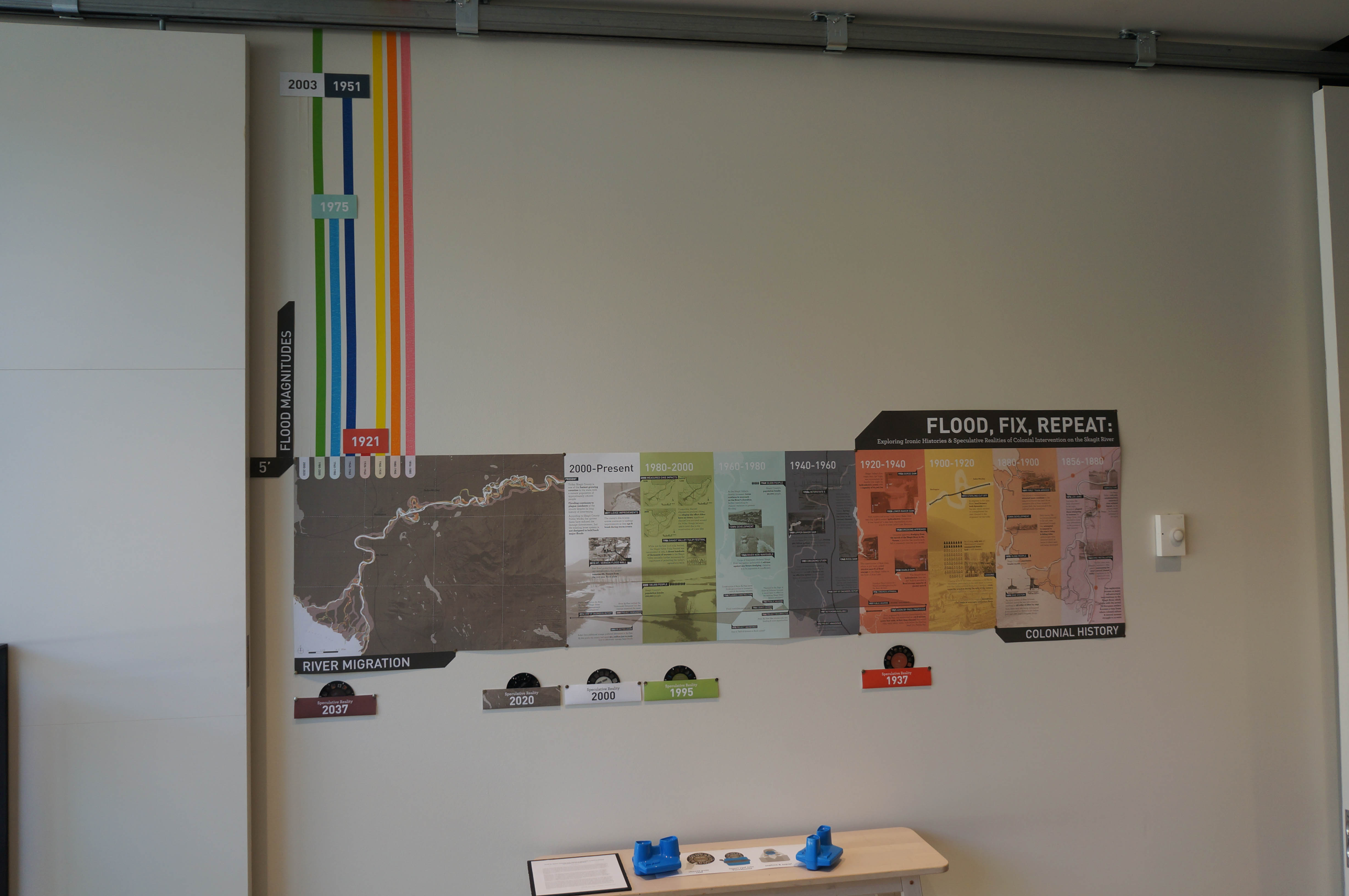
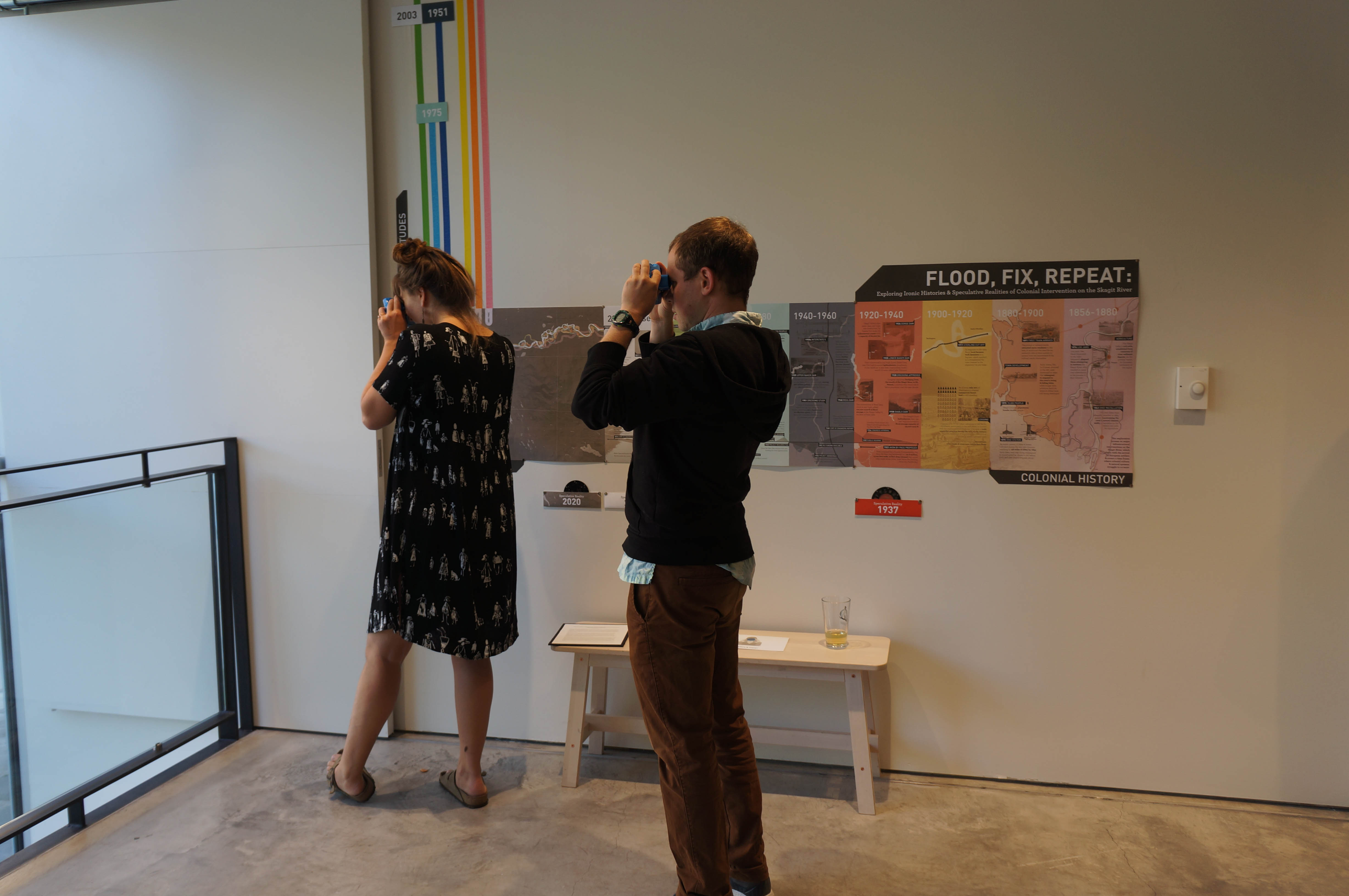
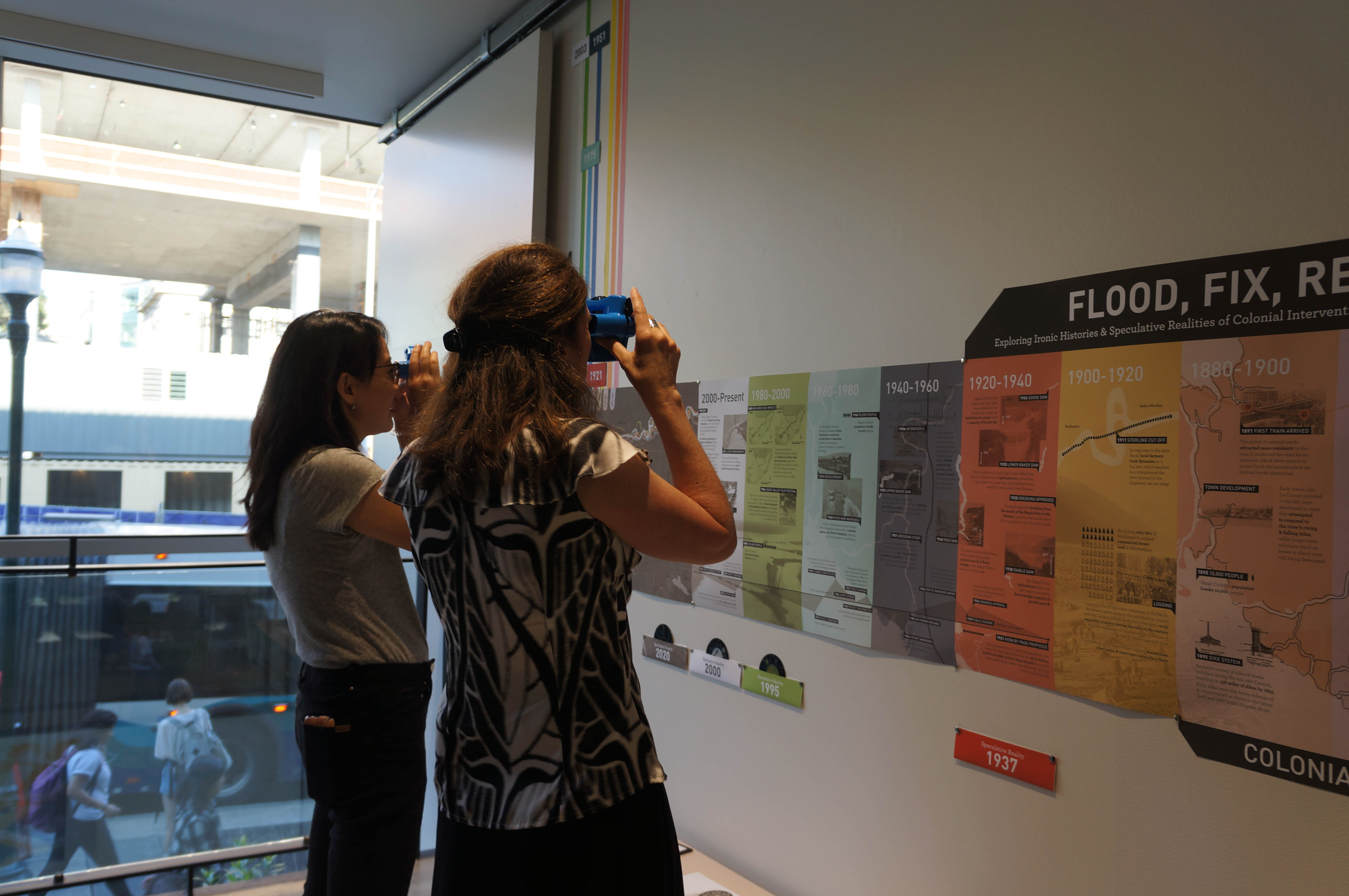
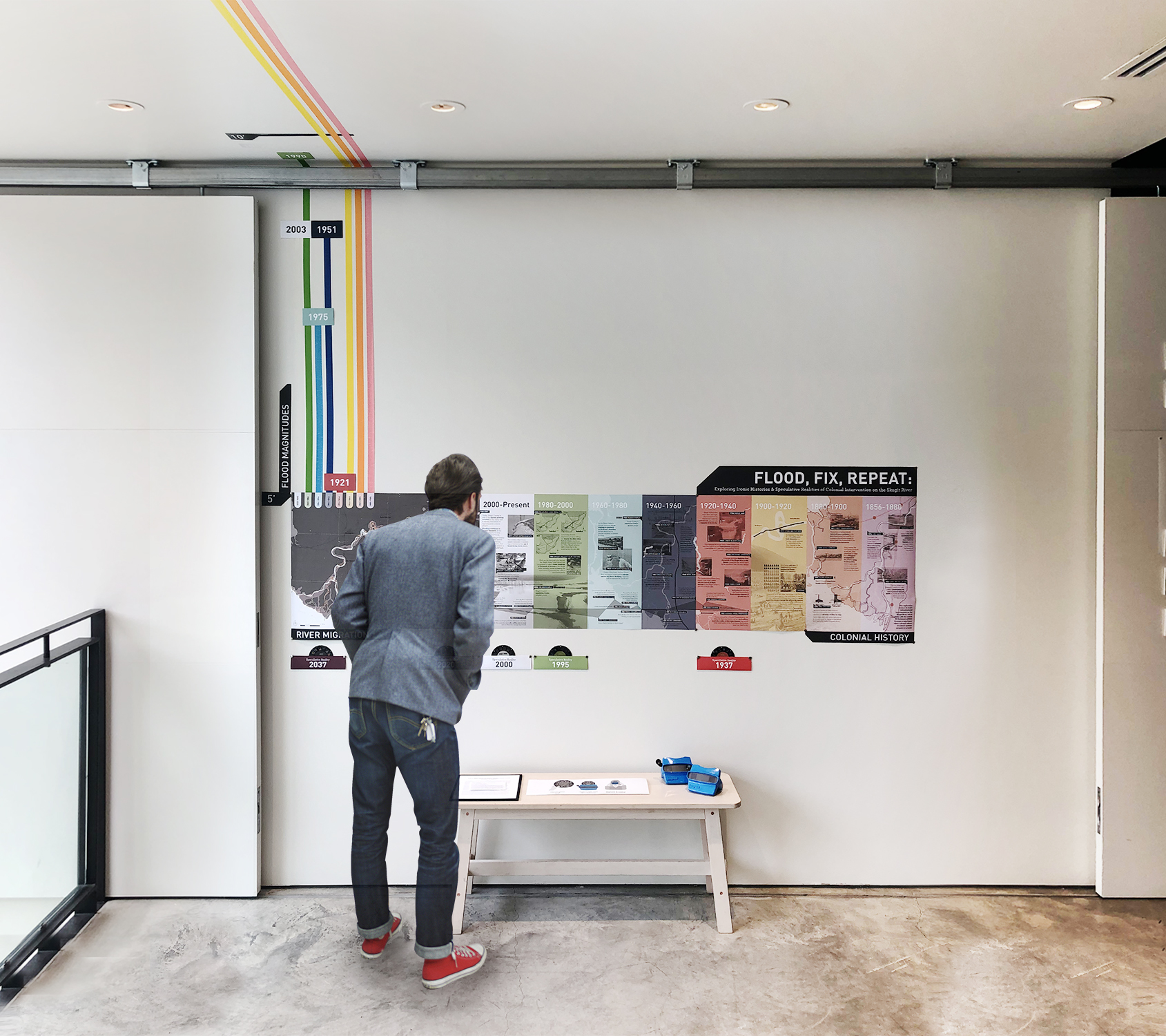
“Long ago, floods were described as Acts of God. Today, these are known quite often to be consequences of the acts of man” (Ian McHarg, 1964). This project explores the connection between flooding and colonial intervention within the Skagit River Valley through both historic and speculative lenses, with the goal of uncovering whether humans have been successful in reducing the magnitude and frequency of the valley’s flood events, or if the permanent alternations of the Skagit River are resulting in the inverse effect. While humans have been shaping the landscape of the Skagit Valley for centuries, this exploration begins with the arrival of European settlers, and covers a time period where colonial culture and natural systems are struggling to co-exist.
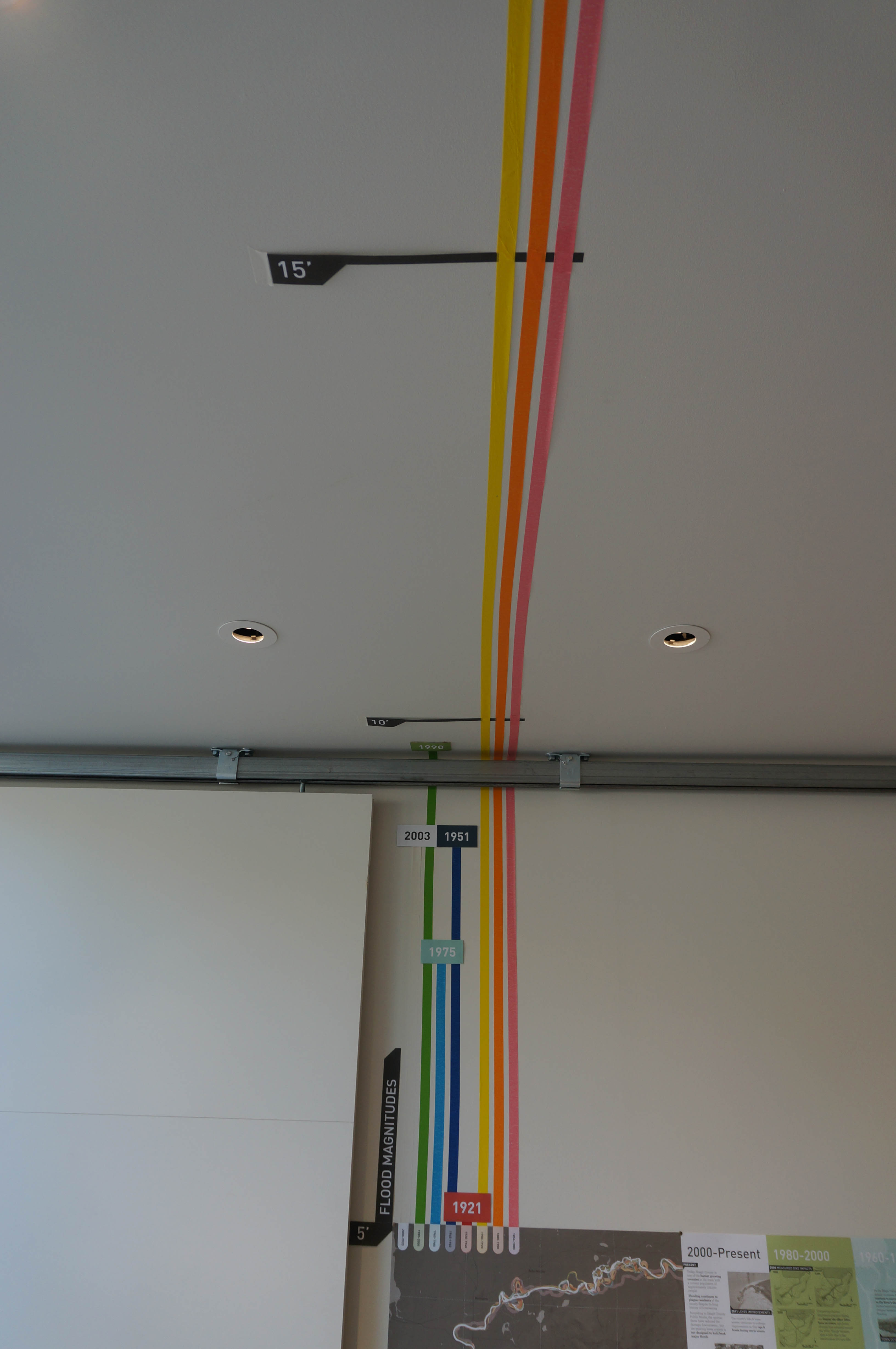
Three methods of representing time are utilized to display eight intertwined eras of social and natural history. The full-scale magnitude of each era’s highest flood is taped out along the y-axis, and together begin to highlight how the flood levels have evolved over the past 150 years. The x-axis contains an interactive and illustrative narrative of colonial activities that have affected the form of the Skagit River. While separated into distinct eras, it is important to notice how these human activities don’t exist in isolation, spanning multiple eras or impacting future activities. These two datums are grounded in the mapped historic migration of the Skagit River channel, which lies at the origin of this project. These three representations together help illustrate a river system that is altered and defined by the two seemingly disconnected activities of flooding and human intervention.
Based on the true historic events that were uncovered and documented, a speculative reality was developed to explore potential outcomes in the valley if the long-debated flood control project, the Avon Bypass, had been implemented in a way that realigns the entire mouth of the Skagit River north toward Padilla Bay. This portion of the project is depicted through the medium of View-Master reels, a representational type that situates the fictional series within the past, while allowing stories to unfold in ways that static media types cannot achieve. Beginning with the story of a disgruntled farmer in 1937, these reels portray a speculative timeline of how social and environmental activities would unfold in this alternate reality. Grounded in similar representational and topical styles as the accurate portrayal, the two timelines build off of each other, creating parallel histories for the Skagit River Valley that can be explored, compared, and contrasted by the viewer.
a delta in flux
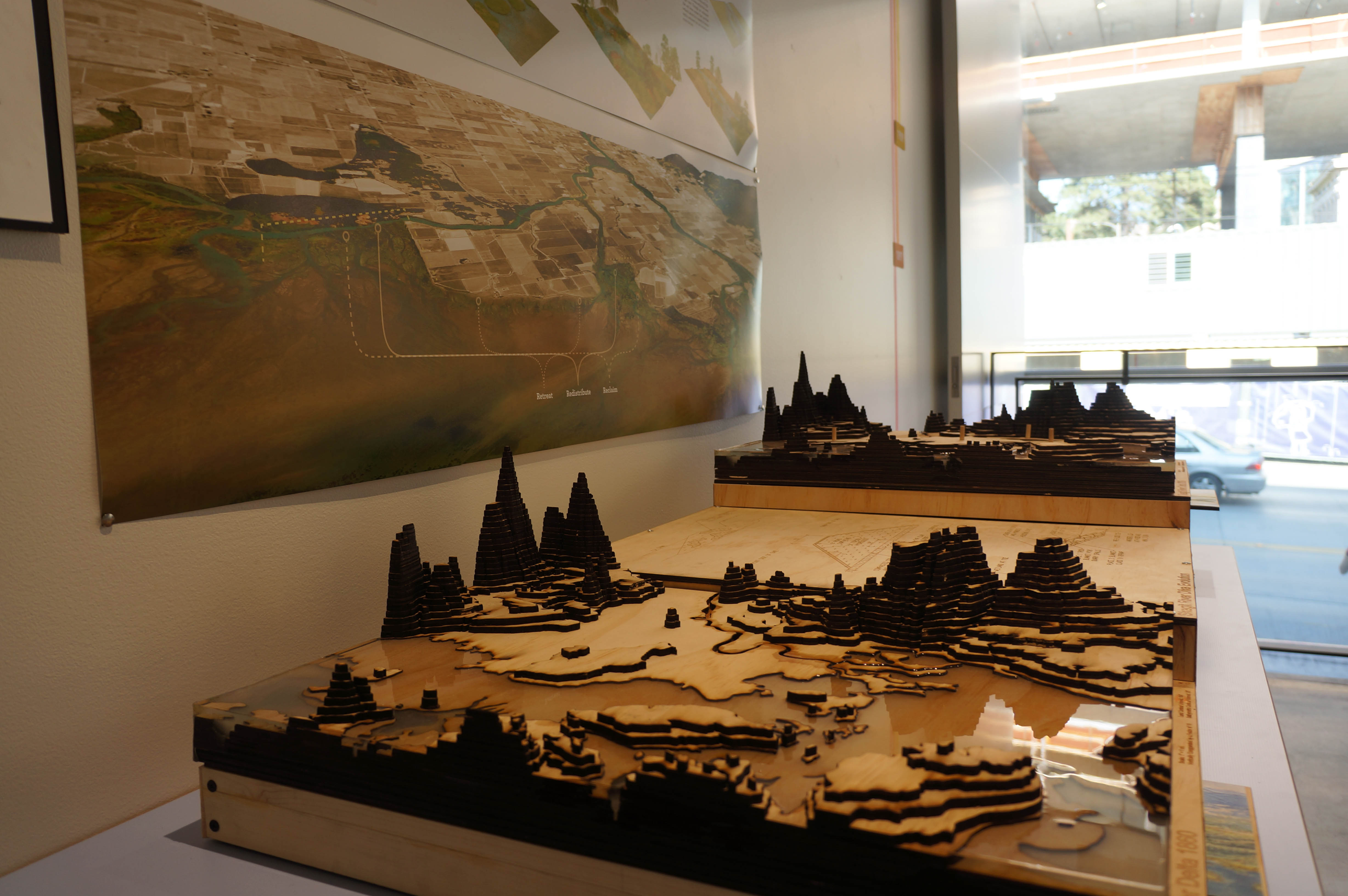
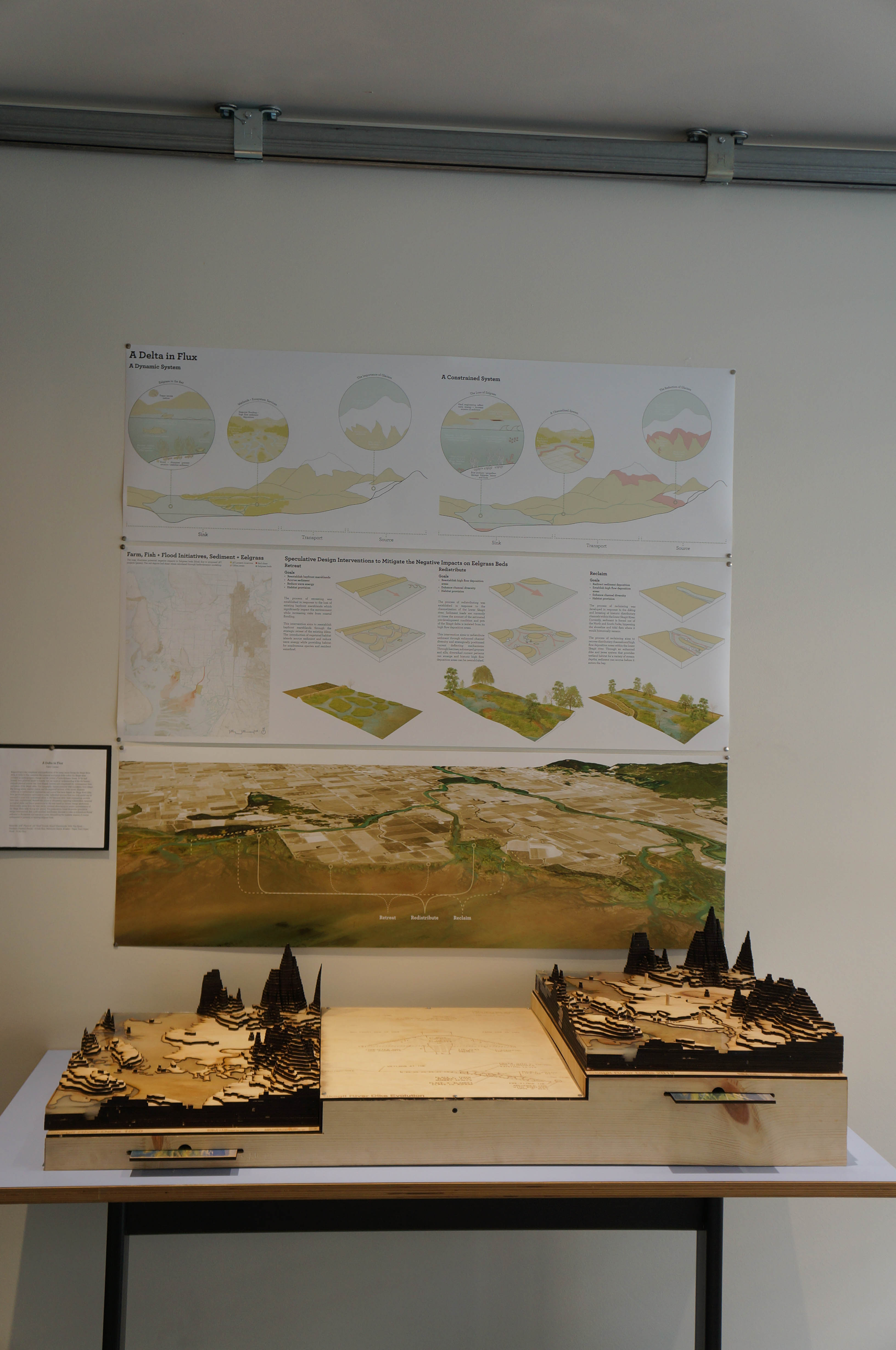
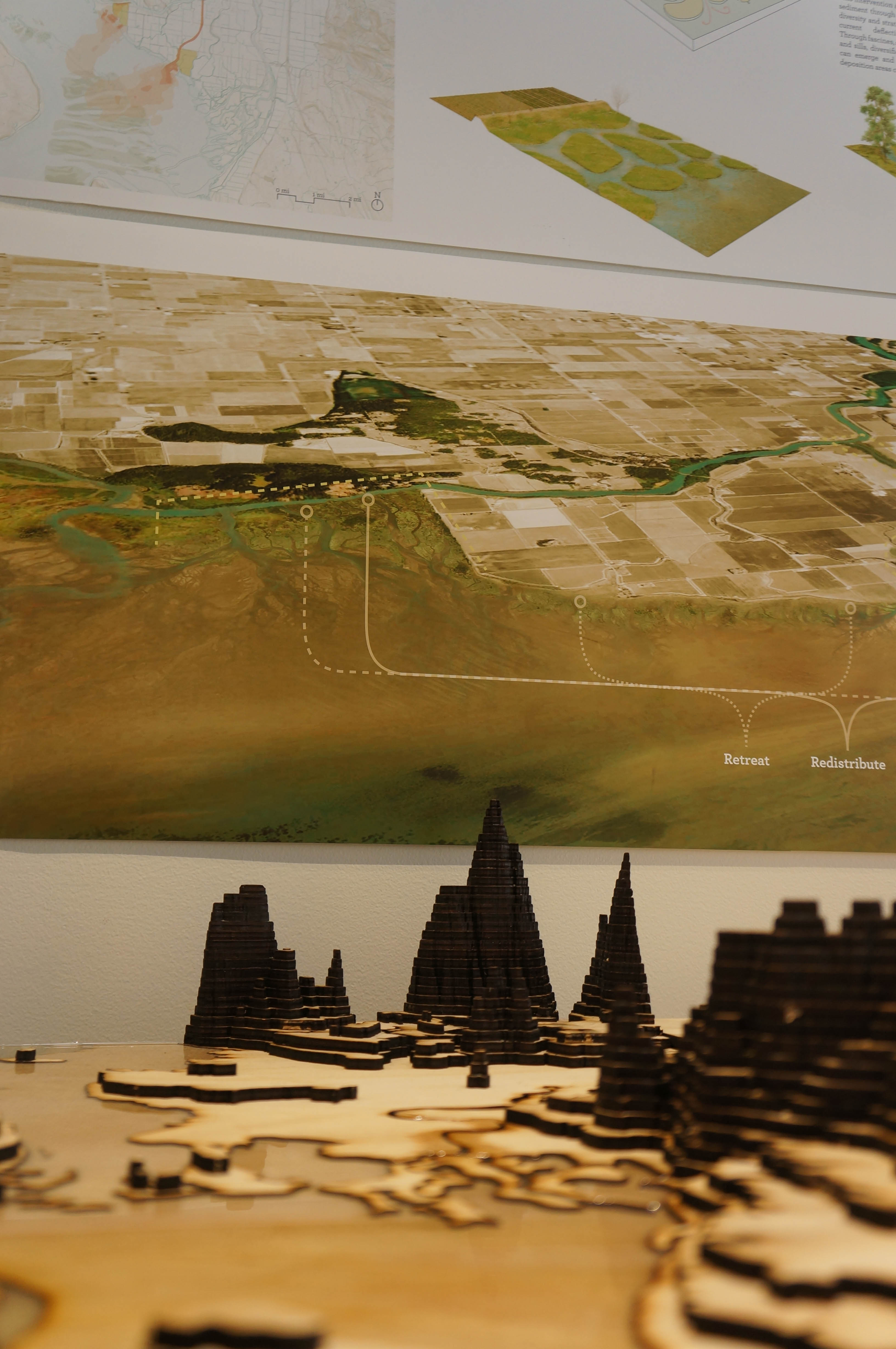
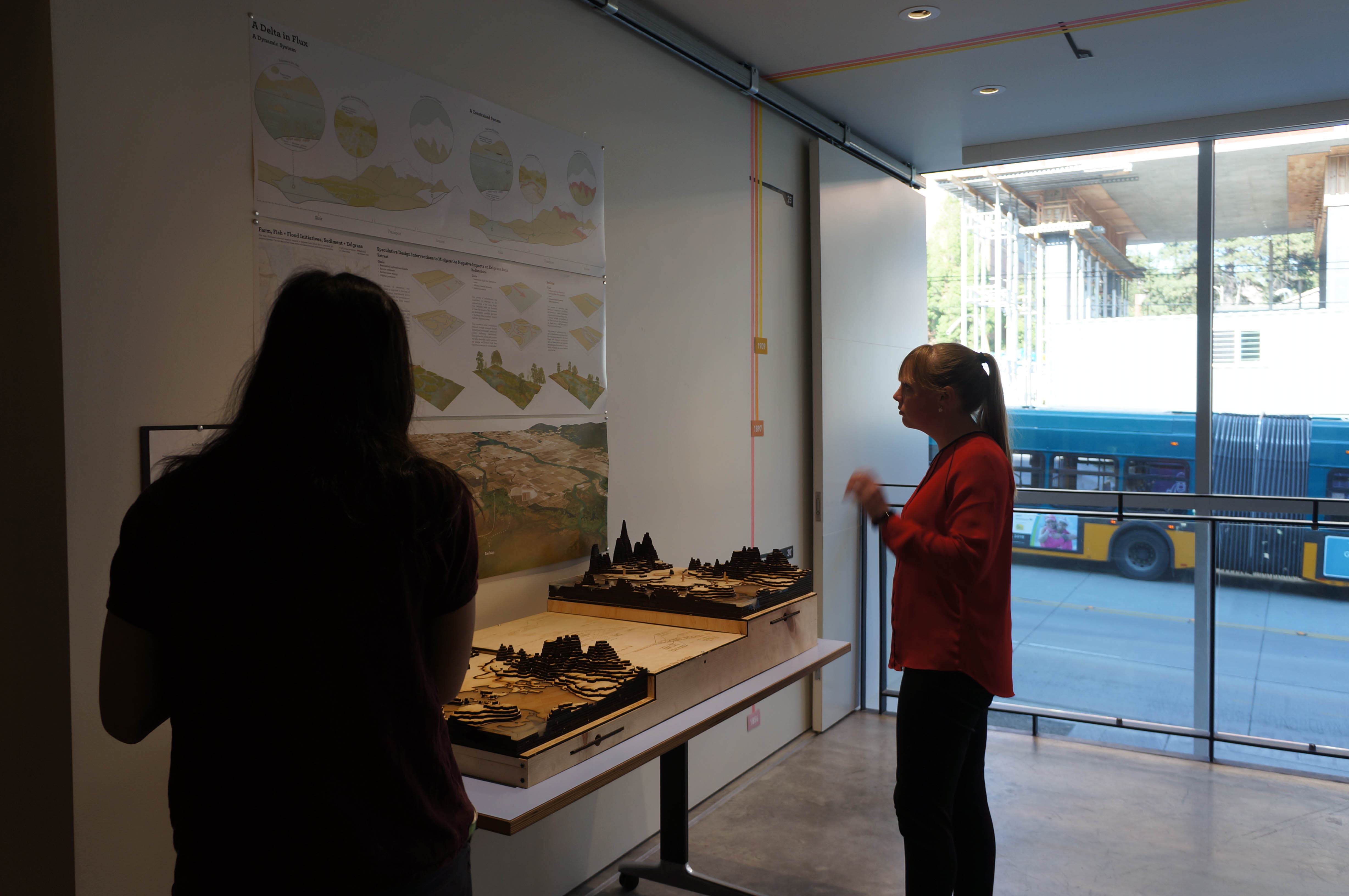
Responding to the complexity and significance of the many issues facing the Skagit River delta, A Delta in Flux examines the temporal ecological shifts within the Skagit delta initiated by anthropogenic change and the control of hydrodynamic forces. To be read linearly from physical model to boards, one can build an understanding of the human-induced physical actions that have shaped, limited, and compressed the contemporary form and extent of the Skagit delta. The topography depicts potential tidal inundation from Skagit Bay during severe weather events, and the engraved sections of the model illustrate evolutions in technological engineering and control that have shaped the Skagit River delta from pre-EuroAmerican settlement to today.
Individual sections from the 2019 model can be removed to more fully understand where in the historical delta these engineering controls have been implemented. Beneath the pieces is information regarding stakeholders, temporal ecological shifts, and future projections for the area based on climate change predictions. Additionally, plates from the base can be removed, showcasing an artistic representation of the Skagit River delta during that period. The presentation board illustrates speculative design interventions that could establish distributary channels in order to redistribute fluvial sediment to floodplains and nearshore areas; diminishing the negative impacts of current sedimentation patterns on existing eelgrass beds.
turning tides
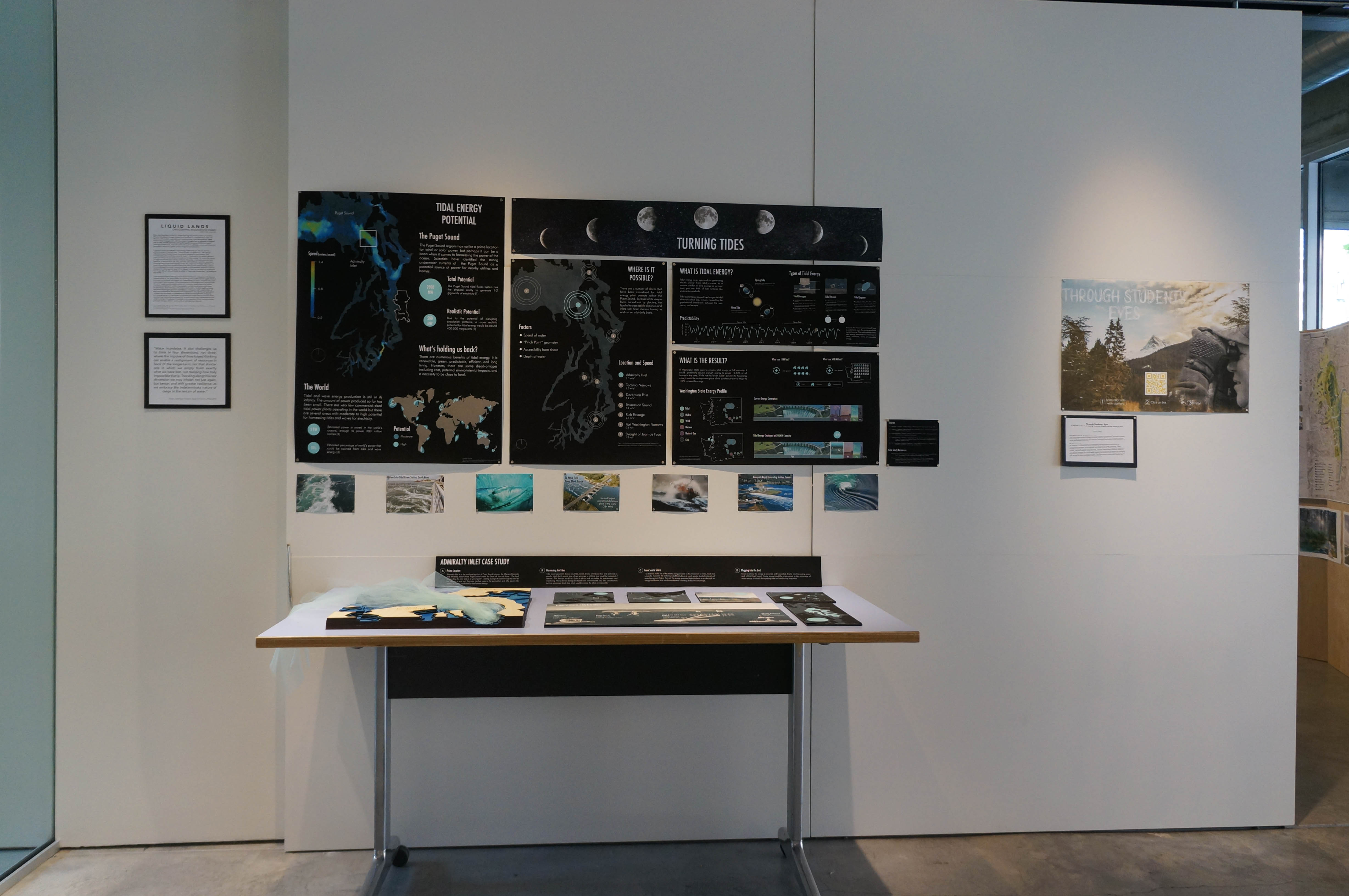
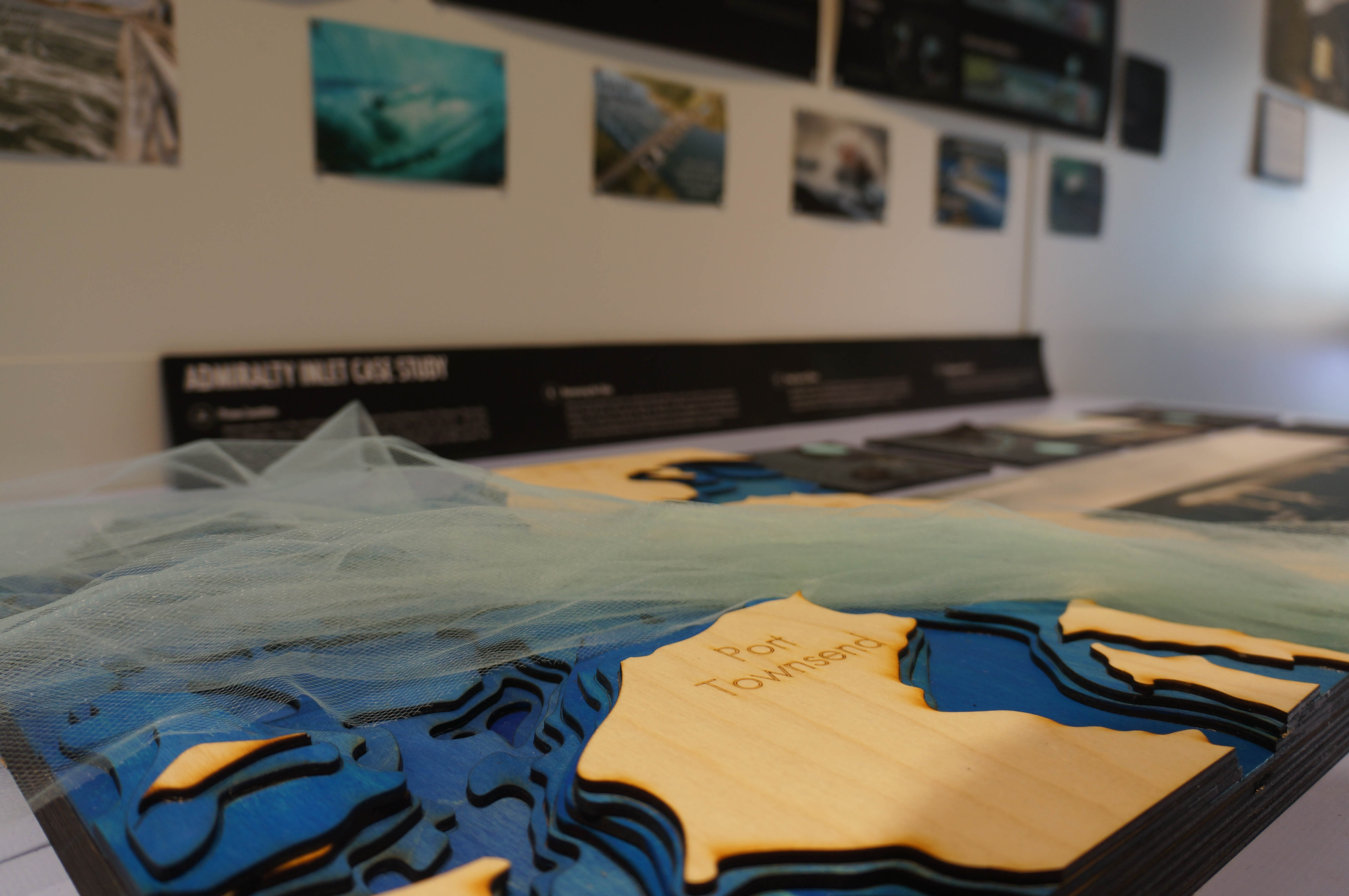
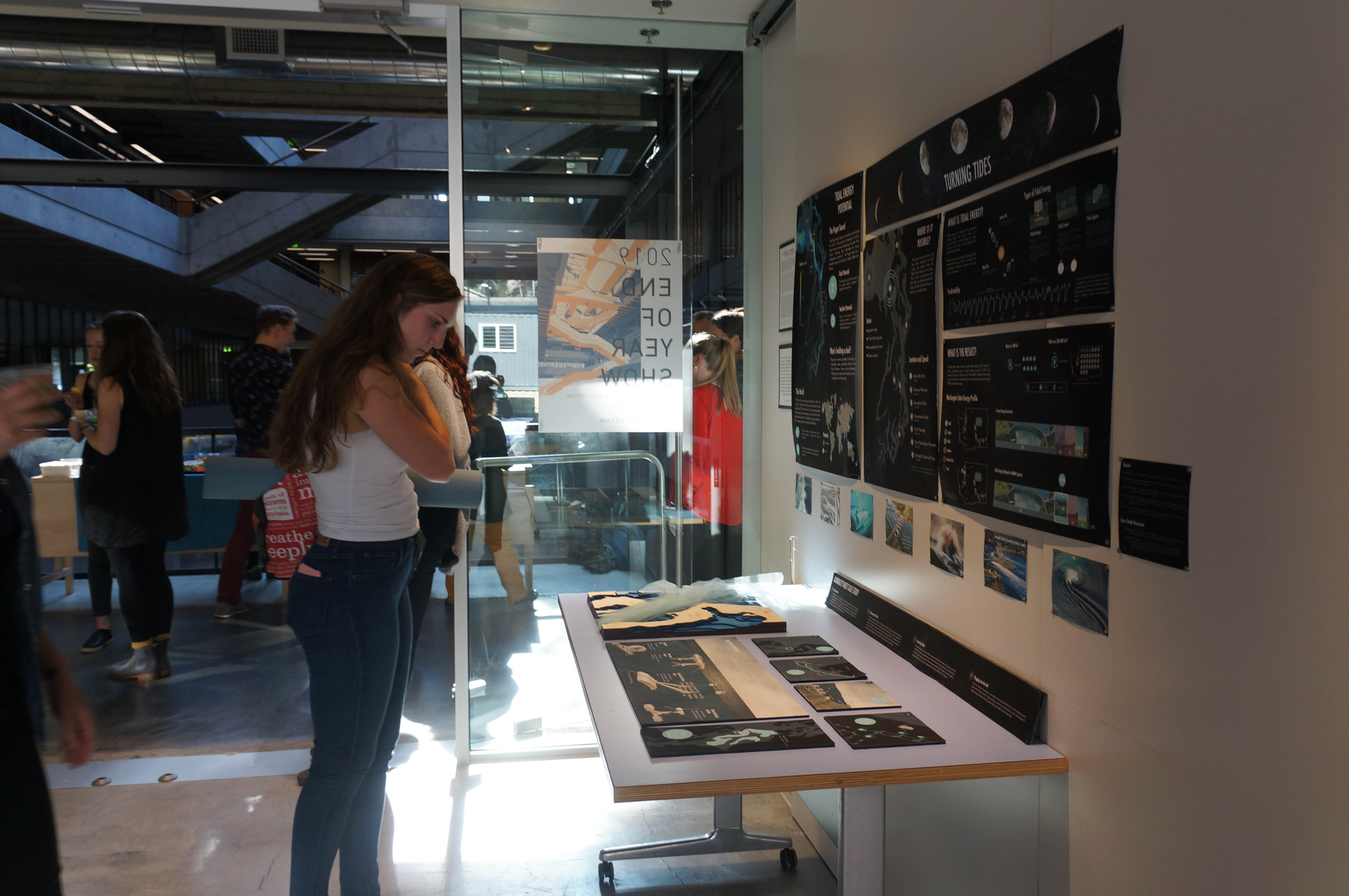
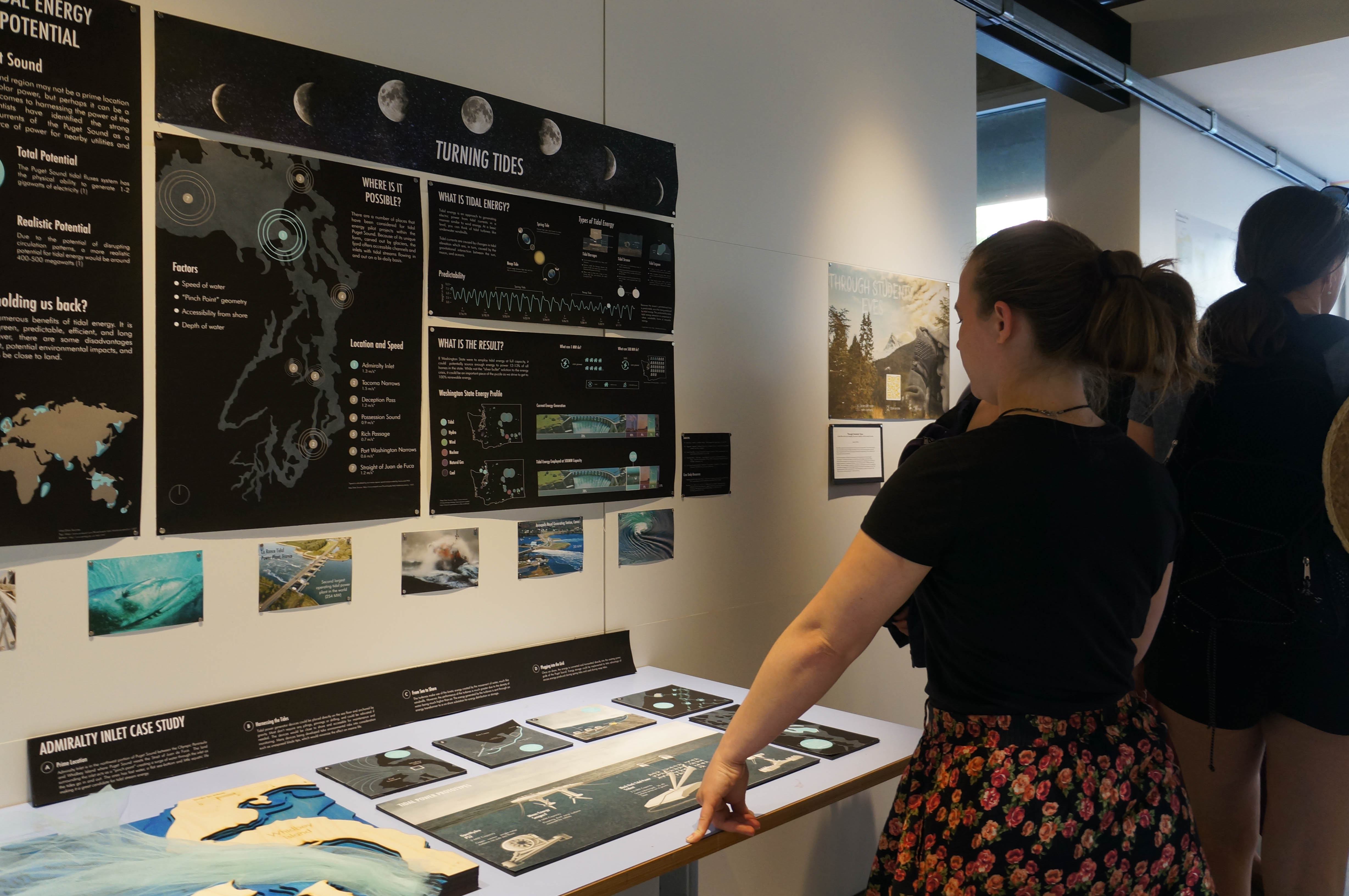
The Puget Sound region may not be a prime location for wind or solar power, but perhaps it can be a boon when it comes to harnessing the power of the ocean. Scientists have identified the strong underwater currents of the Puget Sound as a potential source of power for nearby utilities and homes.
Because of its narrow channels, fast flowing tidal waters, and its close proximity to land, the Puget Sound offers a great opportunity to produce up to 500 MW of energy. This project explores the potential of our region embracing its geological uniqueness and contributing to the solution to one of the world’s most pertinent problems; climate change.
the return

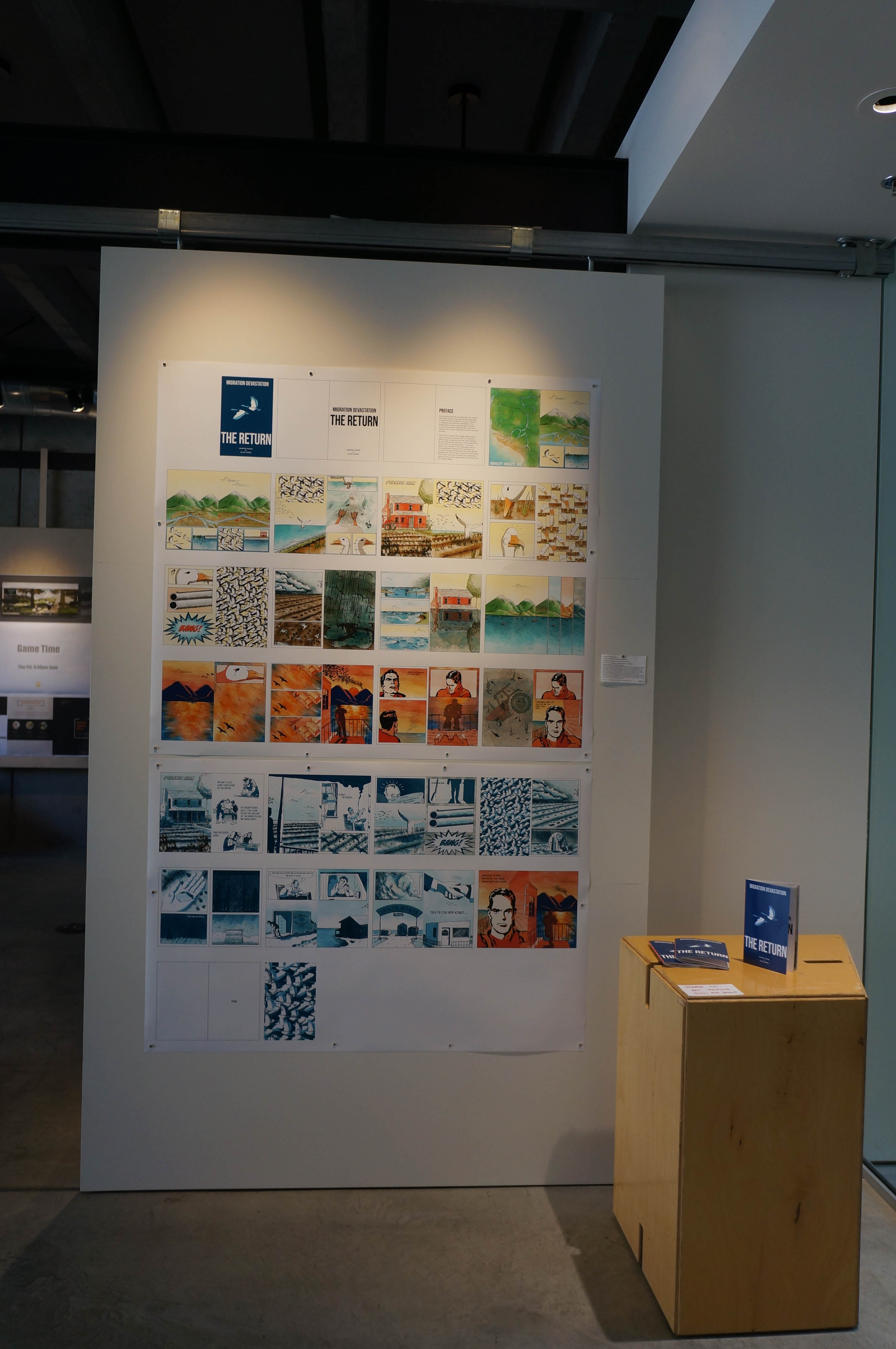
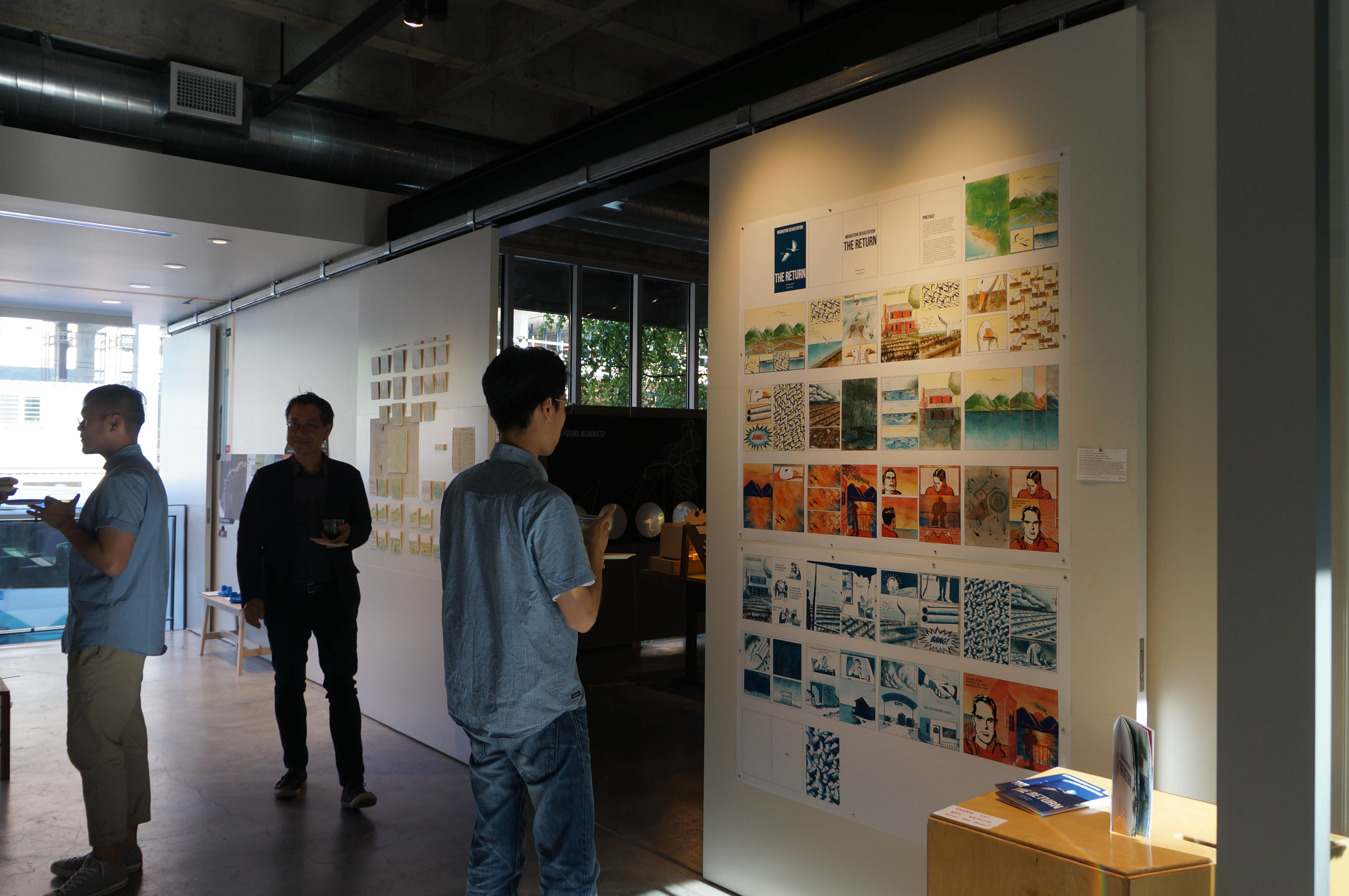
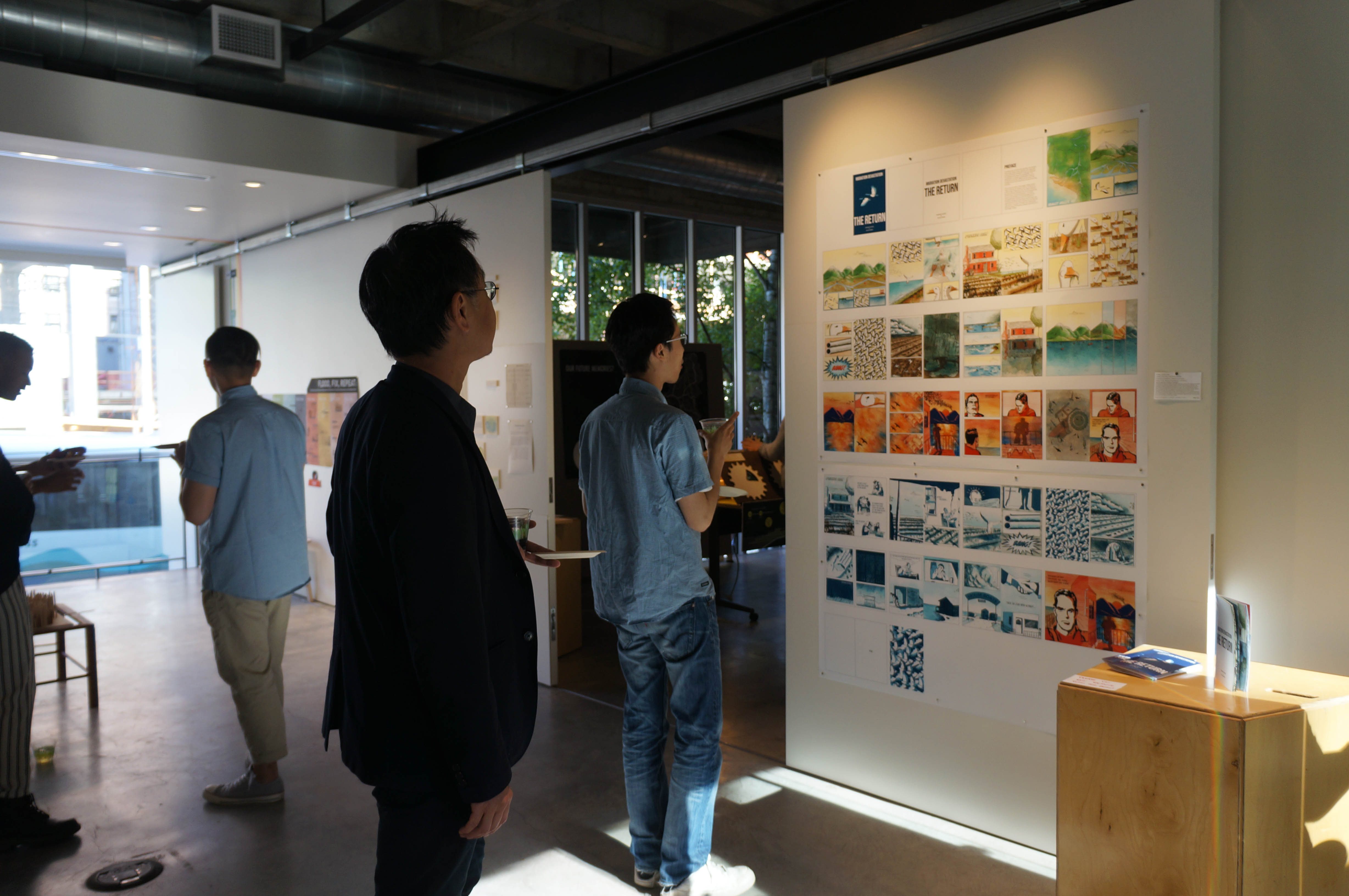
Humans are not the only species that exploit resources. Many other species also degrade environmental conditions causing changes in habitats and resource availability. This exploitation creates considerable impacts to the environment affecting the lives that inhabit them and impacting the services they provide.
This is found within the Skagit Valley which has an estuarine habitat that is crucial for a wide range of species that has been altered by agricultural development and overgrazing of the Snow Goose population. This story shows the change in the landscape due to this exploitation paired with the lenses of climate change and sea level rise through the experiences of the Snow Goose and the farmer. The woven narrative of these two characters tells the story of the past, present and future of the Skagit Valley.
skagit ballad, dam blues
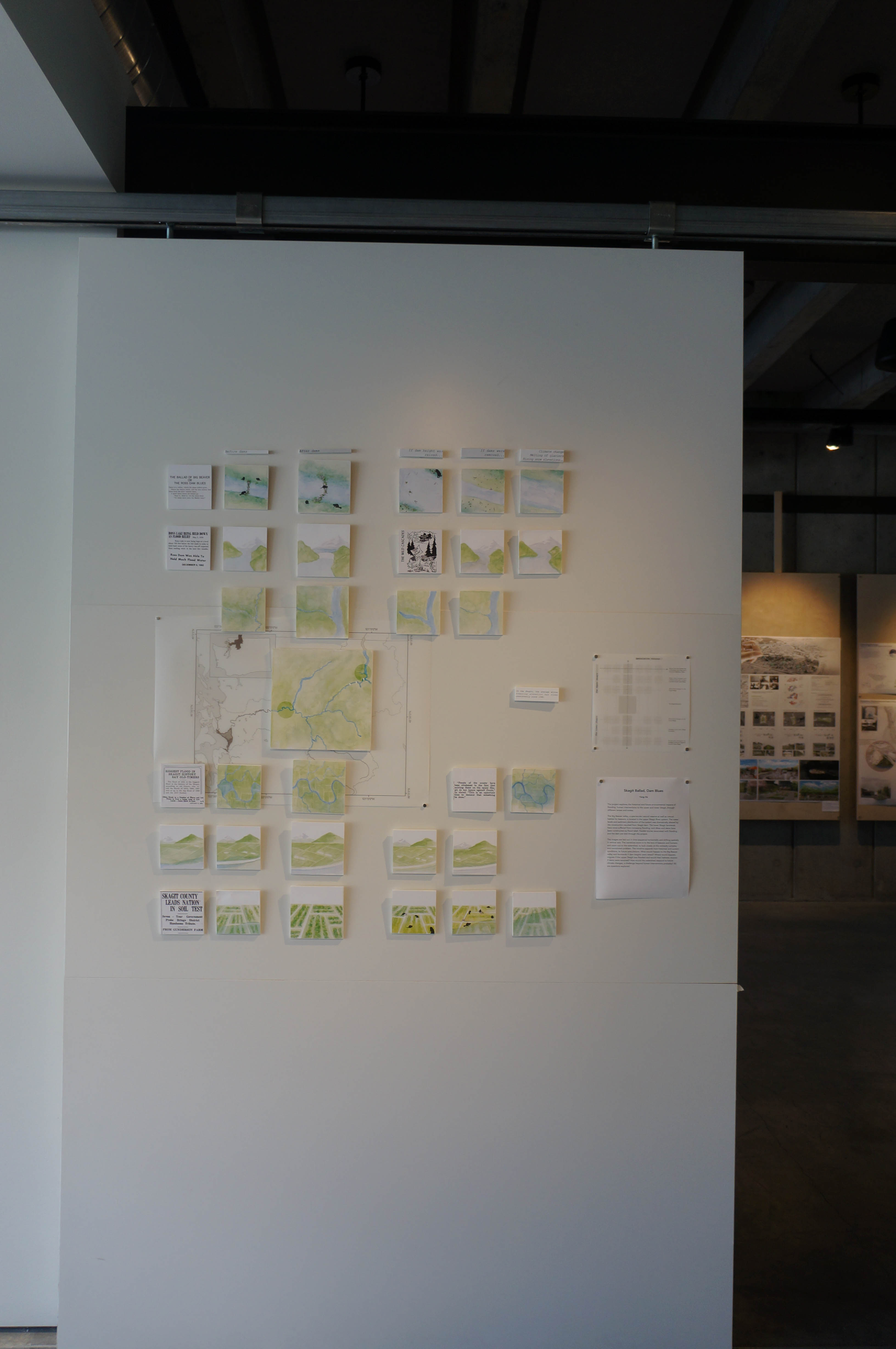
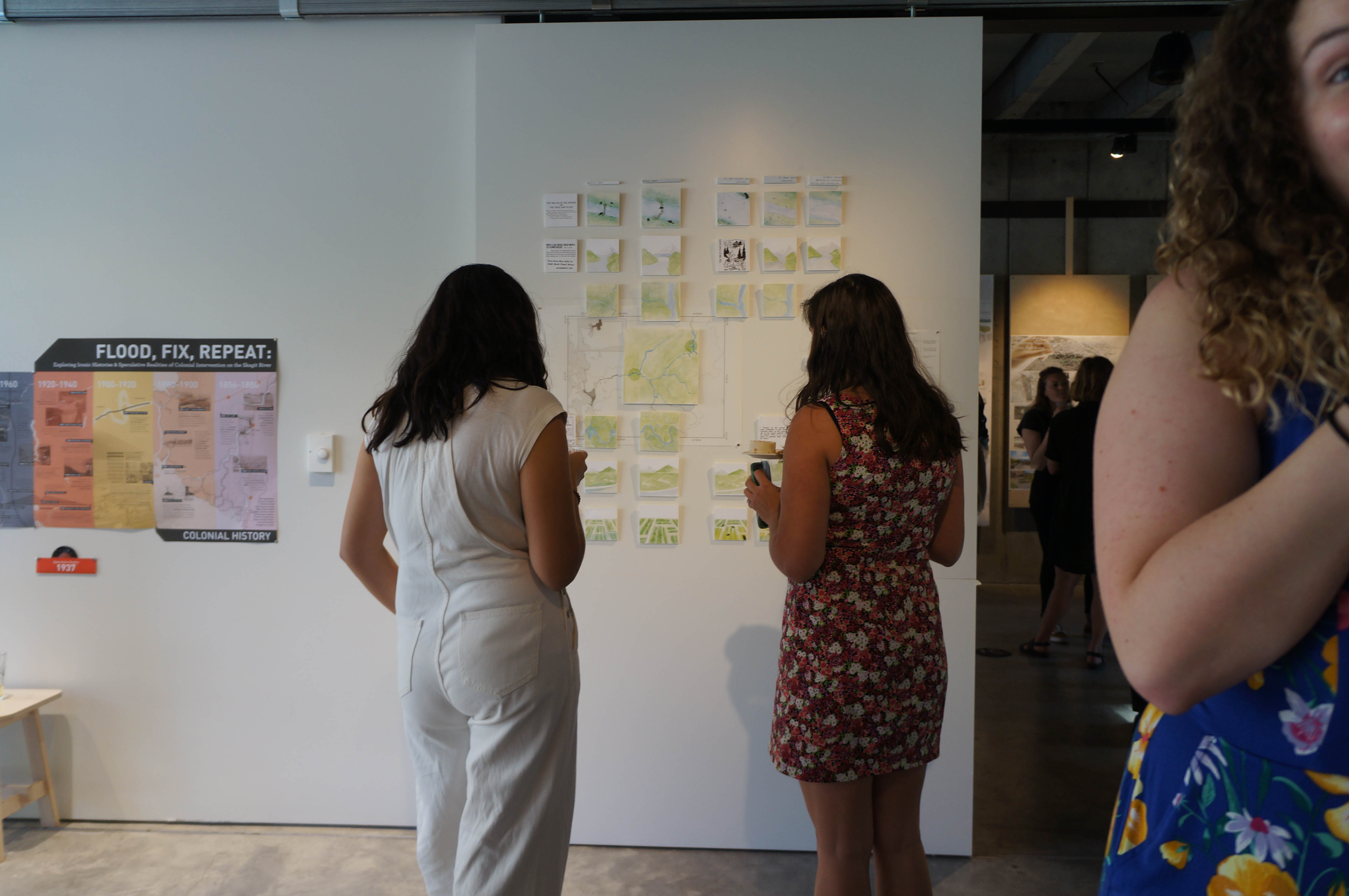
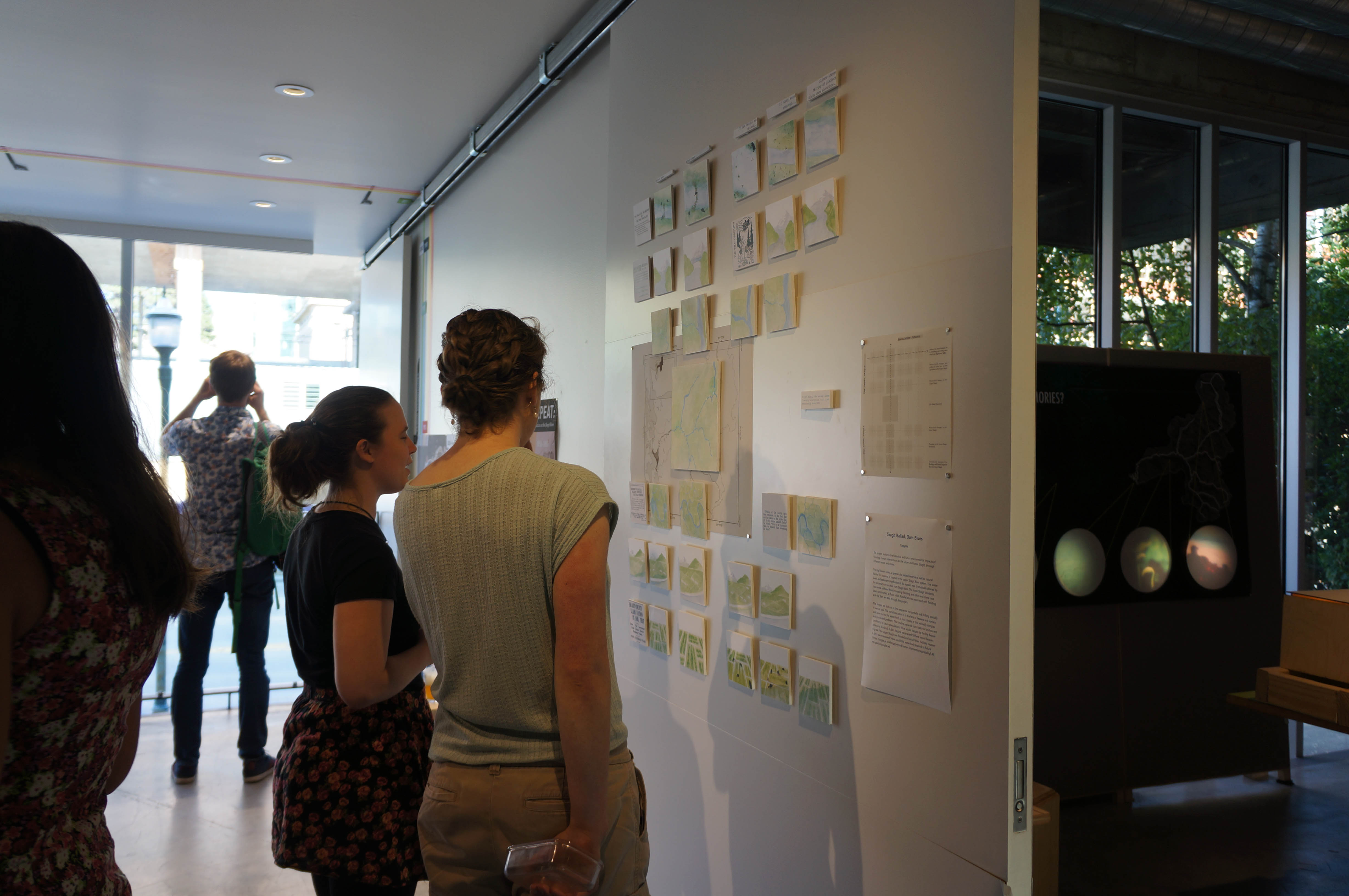
The project explores the historical and future environmental impacts of flooding, human interventions to the upper and lower Skagit, through different lenses and scales.
The Big Beaver valley, a spectacular natural reserve as well as natural habitat for beavers, is located in the upper Skagit River system. The water levels and sediment distribution of the system was dramatically altered by the construction resulted from Skagit dam. The lower Skagit farmlands have since suffered from increasing flooding, and dikes and dams have been constructed as flood relief. Parallel stories associated with flooding and the dam are told through the project.
The images are laid out in time sequence horizontally and shifting spatially in vertical axis. The narratives zoom in to the lens of beavers and humans and zoom out to the watershed, to look closely at this wickedly complex and convoluted problem. The timeline expands from historical and current conditions, to future speculations. What would happen to the Big Beaver valley and farmlands if dam heights were raised? Where would beavers migrate if the upper Skagit was flooded and would their habitats recover if dams were removed? How would the watershed respond to future climate changes, a challenge beyond human interventions probably? All are questions explored.